Very short stop at Omeru Falls and a much needed swim in between errands. Pictures (as usual) posted to NUI.NZ

Very short stop at Omeru Falls and a much needed swim in between errands. Pictures (as usual) posted to NUI.NZ
Interesting… Fake Book Covers on the Subway PART TWO
Short little walk around Ngaruawahia and up to Hakarimata Summit again. This track gains around 300-350m elevation up mostly stairs. Popular with Waikato locals as an exercise and fitness training track.
Conditions were cloudy on the walk up to the summit, then later started clearing as I made my descent back down.
A possible plan for double day hike. On the Eastern Side of the Coromandel Peninsula
Weather dependency… Will go if there is a little bit of showers, though if there has been a lot of rain preceding the chosen date, the hike will be cancelled.
The main thing will perhaps be the drive there and back (which I don’t mind doing)
The often used line for people who sometimes quite vigorously defend (their use of) Facebook is that “It helps me keep in contact with Friends and Family far away (or overseas)!”…
Here’s the kicker, People I firmly feel were already freely doing that across the Wider general Internet way before the likes of MySpace and Facebook ever came on the scene.
Many people had their own Personal Homepages (at their ISP, colleges or elsewhere) or Personal Blogs and people would find each other by way of any number of search engines of the time, go to their page and flick them an email or sign their ‘guestbook’. (I know I have reconnected with many people I’ve lost contact with this way.),
RSS and ATOM standards were common place where people could subscribe to each other’s blogs or web pages, using any number of RSS readers and be able to keep abreast with articles from multiple sources, be it from their friends’ blogs, News media publication, or elsewhere in one place, (very much, I feel, in the same way how Facebook’s “newsfeed” operates today, but with far more granular control over what you wish to see than the Facebook newsfeed of today ever offered).
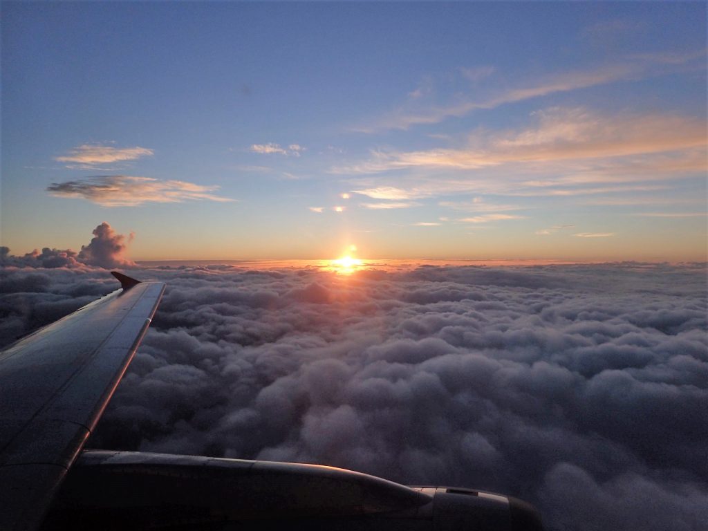
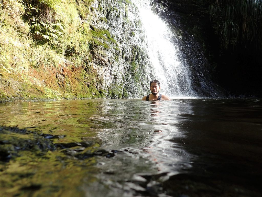
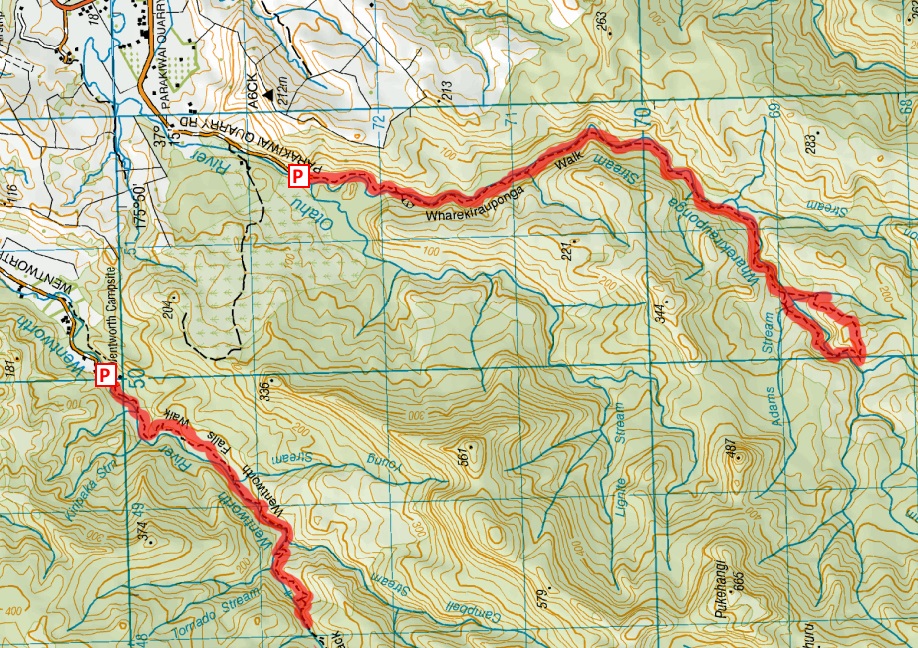
Another often used excuse for relying on facebook is “How can I share my photos with my family and friends overseas?”, Facebook is hardly the only medium or tool to do this. Again, your own blog could fill the same role with NUI.NZ as being my living example.
—
It’s worth remembering that Facebook as a communication medium is entirely controlled by a single corporation whose natural overarching focus is to maximize profits for their shareholders and is not an inter-operable communication protocol with several (typically competing) providers like how Email is structured.
—
If some people are serious about reducing their reliance on Facebook, are concerned as I am about the increasingly centralization of power to a few for-profit run silos, and are in favour of supporting open inter-operable web standards, I would kindly suggest that a regular Blog could fill that role as the first stepping stone.
Setting up your own personal blog I strongly feel needn’t be solely the domain of I.T. geeks. There are now blogging services which make it easy to get started as it is signing up for a Facebook Account.
There are several different blogging platforms, including B2Evoluation, WordPress, and many others. WordPress as a blogging platform seems fairly okay in my opinion… if you want a quick start, then suggest as an initial starting point signing up for a free account at wordpress.com at least as a stepping stone to get you on your way (it is very easy to sign up, as easy as it is to sign up for Facebook or any other social network).
Once you outgrow WordPress.com and/or you get sick of the adverts, you can then fairly easily move off on to your own self hosted WordPress blog at any web host of your choice once you’re ready.
What ever blogging platform you eventually get going with (Preferably an open source one that allows you to self-host in the future if not now), you can simply post links on your social media profiles (Faceborg, Google+, etc) back to your blog / homepage and have your blog / homepage as your main (web identity) hub and point of presence on the Internet in which to syndicate / share your content from. Much like what I do with on my own Faceborg Profile.
Small group Explore around Destruction Gully Near Whatipu along the Manukau Harbour.
Fishermen were naturally edgy as we walked along the coast, evidently afraid that we might be fishery officers.
11th February 2017 – Random pictures with a walk around Pukekohe Hill and Waitangi Falls around the former Franklin District.
I still need to draw down the excessive annual leave racked up and travel overseas, somewhere, anywhere, for say a month.
Did two hikes over the weekend. One was an explore around Waiorongomai, near Te Aroha and a much refreshing stream hike down Piha Valley Stream.
A possible plan for a stream bash and Hike. North Piha, Waitakare ranges
Weather dependency… Will go if there is a little bit of showers, though if there has been a lot of rain preceding the chosen date, the hike will be cancelled. Not a safe one to do with torrential swollen streams.
The stream section is quite slow going. Expect to be in the stream for about 4-5 hours + Hike along Maungaroa ridge / Anawhata Road (About 2½-3 hours to end of Hetig Track where the stream section starts)
Grapes overhanging a fence at a friend’s place in Papakura…
30th January 2017 – Wairoa Cosseys Track (one way involving car shuttle) Redux. Fairly easy walk through some pretty lush bush. Due to the ambient temperature of 27°C, still ended up hitting my heat limit a number of times. Hunua Falls upon our arrival was packed with people looking to cool off in the pool at the base of the falls.
Easier stream bash along Mokoroa Stream (Goldie Bush). Pictures uploaded to Mokoroa Stream Track album.
Beware, the trail head of this reserve now has parking enforcement at the Horseman Road End. Avoid parking on the side with the “No Stopping” / “No Parking” signs. Upon our arrival, we saw a Parking warden going around issuing tickets.
When to explore Moirs Hill Walkway before the Pine Forest surrounding it gets deleted. Including an explore around Pohuehue Falls. Photos posted to NUI.NZ.
Walked to the Moirs Hill Road end, returned back the same way back to Beverley Price Loop Track and returned down the other way to complete the loop. Although several cars were parked there at the Pohuehue Car Park, I did not meet anyone on the trail itself… Most cars had just pulled off to have a rest.
Have to admit, struggled a little with 25°C heat which I found zapped my energy levels (hence, won’t be doing any hiking tomorrow as it has been forecast to be higher than that.).
The Pine Forest behind Pohuehue Scenic Reserve is going to be logged in preparation for expanding the Motorway North, hence the closure of Moirs Hills Walkway.
Total time spent on trail about 4 hours, includes a few bush bashes and side tracks (to explore).
A spontaneous and short ihumatao loop explore this afternoon…
Righteo, here’s our Southland Road Tripping Pictures and other side trips before Stewart Island / Rakiura, in between, and after Humpridge Track.
Photos have been uploaded here for Stewart Island and here for Humpridge Track. Will write up trip reports for them both at some point. For some reason feeling really zonked out… Sleeping for about 12 hours straight. Will also get around to uploading the Road Trip photos (that were taken on side trips outside of the Two main Hikes)
Merry Christmas all, Season’s Greetings! Be sure to take some time out of your busy life to enjoy the magic of the holidays this season with friends and loved ones.
May this holiday season sparkle and shine, may all of your wishes and dreams come true, and may you feel this happiness all for the coming new year.
21st December 2016 – Photos from a nice and easy short little walk around St Heliers with the Auckland Hiking Meetup Group Wednesday walks series. Hosted and led by Ruth Donde whom gave excellent commentary on the history of the area throughout. Walk concluded with an excellent public performance by the Auckland City Brass
Update 4th January 2017 – Happy to announce that the “mega rage face” status can now be retracted. The weather on the trip turned out to be kind enough to open up a few hours after arriving at Okaka hut, rewarding our climb with views including a spectacular sunset on top of Humpridge Track. Thankfully the Computer modeled weather forecasts did not eventuate in their entirety!
—–
Yargh… Earlier in the week, saw the Tuesday 27th forecast appear around the corner and thought hopefully that it will go away. Looking again today and much to my chagrin, I get presented with this…
It would be perhaps fair to remark “It probably doesn’t get much worse than this”. (if weather conditions got worse, the operator would likely cancel the trip, refund us the monies and we go on our merry way to do something else)
Will pack my blue raincoat (the Swazi one) which seems to have an interesting ability to repel Rainy weather /s (as well as the regular poncho)
Rain itself I don’t mind (being rain falling on me), but simply going down there and climbing up 900m to simply see solid white / grey will likely drive me silently bonkers as it did when I did Waikaremoana and walked up the bluff only to see Stark White.
Yeah, If weather turns out to be shite and all I get is solid gray to see, I fully intend to go back down again at some later date (i.e before Christmas next year) and take up the chopper option up to the top, walk down and and do the River to Lake Jet boat (if they offer that activity combination as an option).
I’ve already forfeited my Farm Stay / Hunting Trip invite (from another circle of good friends) to attend the Humpty walk and it would be extremely disrespectful to fellow group companions to pull out. Here’s hoping that the computer modeled forecasts are wrong.