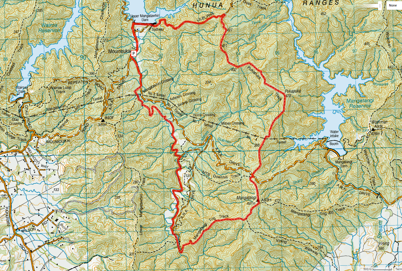
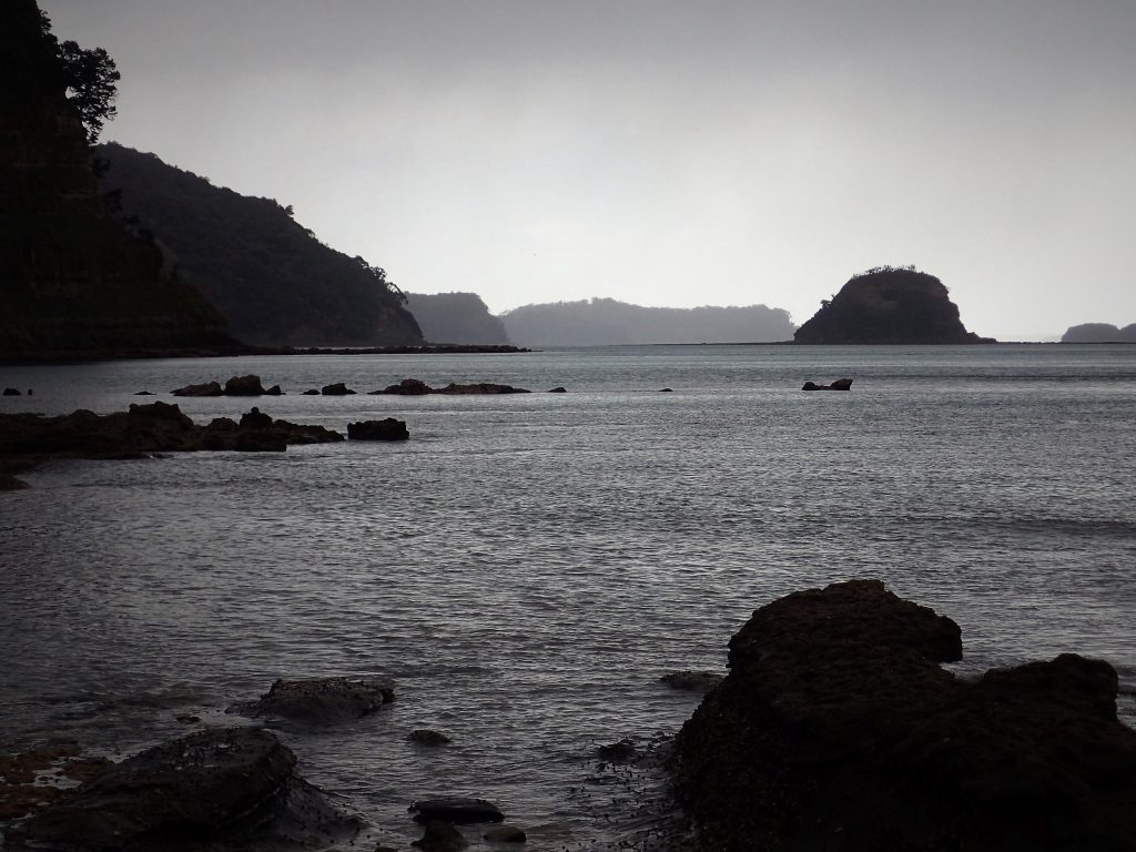
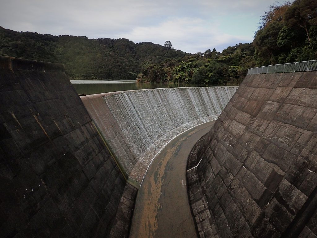
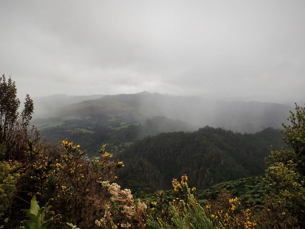
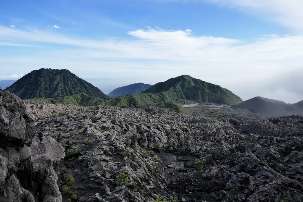
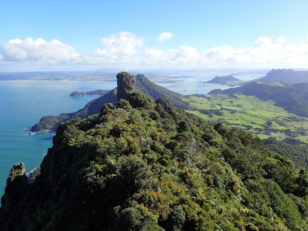
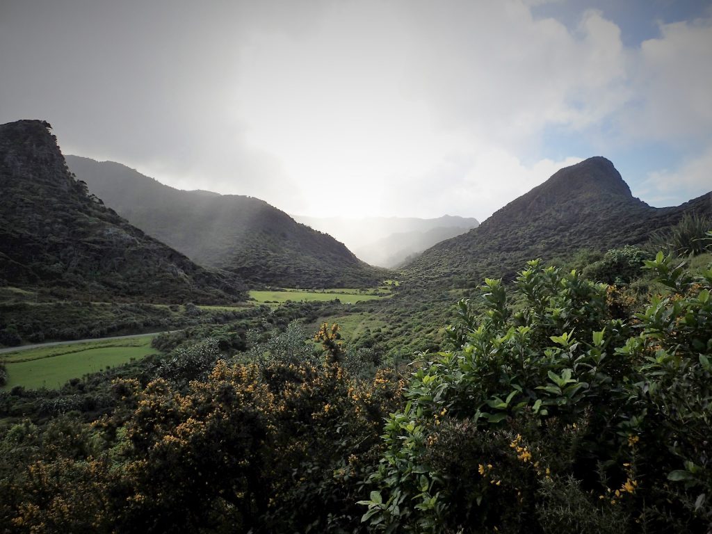
Rough Basic outline: Starting from Moumoukai Car park. Walk up Lilburne Road (past Upper Mangatawhiri Dam), Turn right onto Pukapuka Track. Walk up to Mangatangi Trig, Then walk down Mangatangi Trig Track and return back to car via network of gravel road.
If necessary, can cut this short by going down A.R.A Road.
Alternative shorter southern loop plan: Go up A.R.A Road, down Mangatangi Trig Track and back to car park via the network of roads.
Estimated Time: 8-10 Hours (Depending on pace, including allowances for stops)
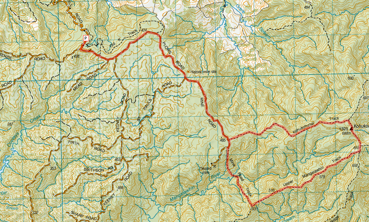
Rough Basic Plan: Drive up Moumoukai Hill Road. (Parking near the end of the road). From the car park walk up Mine Road through to Mind Road Track, turn left with Intersection of Upper Mangatawhiri Track toward Kohukohunui Trig, return back via Kohukohunui Track
Estimated time: 8 to 11 hours (Depending on pace, including stops)
A spontaneous trip to do some little walks up north in and around Orewa and Waiwera. Photos uploaded to NUI.NZ. Click image below to go to the photo album.
They say Facebook causes depression. For me, it’s probably not the “Comparing yourself with others” / F.O.M.O (Fear of Missing out) trigger that I keep seeing exhorted in the media (in the lightest way possible, that aspect of Facebook has probably had the opposite effect),
What has instead perhaps “dampened my mood” is seeing the world’s masses getting deeply hooked and dare I say addicted to the platform owned by a corporate juggernaut (which we are collectively responsible for becoming a juggernaut, by virtue of joining the platform and getting our friends to join courtesy of the “network effect”) intent on eating up the entire Internet and irreversibly integrating itself into many people’s lives.
I really struggle to see this as a good thing for us collectively in the longer run. I question our decision to rely on a sole proprietary platform for keeping in touch with friends and family. I continually freak out about how much power over our lives we are collectively handing over to be concentrated into the hands of a single for-profit entity such as Facebook, especially so given their past and present behavior. Have people forgotten about “Power tends to corrupt, and absolute power corrupts absolutely”?
I’ve referred to Facebook as “Face-borg” for this reason. It is really the Web’s version of Startrek’s Borg collective, relentlessly assimilating everything in it’s path.
Short 450m climb up to Karangahake Trig and back down the same way. The Settled forecast did not eventuate this time (mostly ended up with White) so will be one I have to come back again to do with a larger group and probably part of a weekend trip.
Click picture to view gallery (on NUI.NZ)…
Karangahake Gorge on a wet Day
Track conditions on Mt Karangahake Walk Track were very wet and slippery. Be very cautious particularly while descending down the track.
Recommend paying the extra for a guide for your first visit to the Sanctuary just to get an insight on where the wild life is hiding. The Sanctuary has yearly access options available which Is an option I would take up myself should I live in the Wellington Area. Aside from the main visiting area, the Sanctuary has quite a network of walking tracks [PDF].
NZ Shareholder’s Association conference on the following day was packed and fully subscribed. A number of speakers presented including…
Simon Mouter – Managing Director Spark Ltd
Cameron Bagrie – ANZ Bank Chief Economist
Mark Peterson – CEO NZX Ltd
Norah Barlow – Director, Estia Healthcare
Hartley Atkinson – CEO AFT Pharmaceuticals
Richard Keys – CEO Abano Healthcare Ltd
Margaret Bearsley/ Andrew Hudson – CEO/GC Takeovers Panel
…Recordings will be posted to the NZ Shareholders website for paid up NZSA Members.
Jetstar has so far been good to me (as is Air New Zealand with other trips). No Delays this trip. Maybe one advantage Jetstar has over Air NZ is that they offer meals with the Flexi ticket option at least for their Auckland to Wellington Leg (though I’m sure the extra 2nd meal I got on the way down wasn’t meant to happen and probably came about when I encountered a bug with their online booking system trying to select meals and seats)
Main highlights included Dukono (in North Maluku), Komodo, and Kelimutu. Running from about 29th July 2017 to 6th August 2017 on a rather packed schedule with about 12 different flights in total cris-crossing over the Eastern side of Indonesia.
View looking back down towards the campsite from near the crater of Gunung Dukono
Places stayed at (Will hyperlink these when I get over my Indonesian cold)…
Swiss-Bel Hotel Tuban
Julianna Hotel, Tobelo
A night in tents / bivvies on Gunung Dukono itself
Grand Dafam Hotel, Ternate
Sunset Hill Hotel, Labuan Bajo, Flores
Overnight on a boat anchored out at a bay with flying foxes.
Antoneri Lodge, Koanara, Kelimutu
Assorted Notes and observations… (Still to be filled out as of 2017-09-06)…
A large portion of the Indonesian private vehicle Fleet are Toyota “Avanza” and “Kijang” Multi-purpose vehicles. The older Kijang has a larger 2.0 litre motor with it’s smaller successor, the Avanza, having a smaller 1.5 litre motor.
The driving style over much of Indonesia is typical of many Asian national (except Singapore / Hong Kong) with a more aggressive driving style and which will often strike fear into Westerners who are not used to it.
The roads in the more remote parts of Indonesia that we visited where suprisingly good with many key routes sealed. Have to admit, was thinking the island of Halmahera to be mostly of gravel / dirt roads.
Everyone in the group took Anti-Malarials as we had entered into areas which were deemed as high risk.
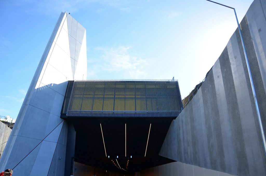
After landing back in Auckland, Embarked on the Waterview, Tunnel Walk, kindly hosted by the NZTA. Could walk about 900m in via the Northnound tunnel then crossing over to the southbound tunnel to walk back. (Though have to admit, was thinking we could walk straight through to the other end)
Waterview Tunnel Southern entrance
Beware, Fixed Speed cameras at each end and variable speed limit up to a Maximum of 80km/h.
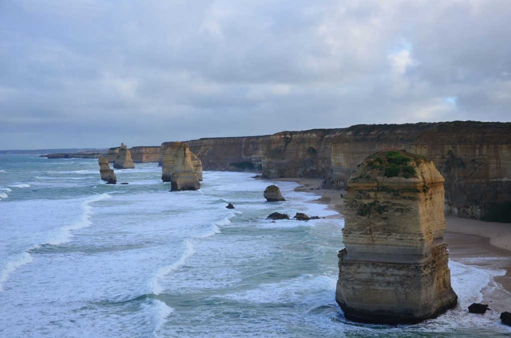
23rd to 26th June 2017 – Post Work formalities Road trip to the Grampians and The !2 Apostles (Now really only 7) along the Great Ocean Road before flying back home to Auckland.
The site of the 12 Apostles
After the Software Technical symposium concluded on Friday Afternoon, grabbed a rental car and drove to Halls Gap next to the Grampians National Park, staying at Comfort Inn Halls Gap. Continue reading “Grampians and Twelve Apostles Trip Notes”→
Return to the Whangarei area to catch up with a few friends. A short overnight walk to Peach Cove Hut via the shorter and direct Peach Cove Track, returning via Te Whara Track and staying up at the peak to take in the views of the Whangarei Area. Later on a short flat walk around Whangarei’s town basin. Pictures posted here.
View of the Whangarei Heads area from highest point on Te Whara Track.
Route Details as follows… (Best looked at in conjuction with a topo map)
From Whatipu Car park. Walked towards the beach, follow signs to Omanawanui Track and then a reasonably steep climb up to the first (lower) peak along Omanawanui Track, then a descent and a steep climb up to the second peak. We descend for a second time before meeting a gradual incline up to the junction of Whatipu Road. Cross the road.
After crossing the road, continue along track till the junction of Puriri Ridge track and Kura track. Turn left down Kura track which descends somewhat steeply then flattens out before the first stream crossing. There are 4 stream crossings in total. From there, it is a relatively flat path (with a few fallen trees to climb over) back to Whatipu Road.
Once at Whatipu Road, cross over the Road bridge and you should be back at Whatipu Car Park.
Peering down the Whatipu Valley
Other notes
At Whatipu Car park, there are Two toilets and an information board.
Road to Whatipu (after Little Huia) is narrow, unsealed and very windy, take extra care driving around the corners as there is often plenty of traffic coming in the opposite direction
Fishery officers are sometimes seen in the area and along the Whatipu coast.
Time taken to do this track. About 3¾ hours at a leisurely pace with about an hour total stopping time (including Lunch, Afternoon Tea and a few short toilet / drink stops). If done at a moderate pace, with shorter stops, can do this in about 3-3¼ hours.
Distance about 6-7 km (if you exclude spur to ‘Wing Head’)
Short stroll, st along a short part of the the Bethells Coast to Taetahinga Point and back to the track carpark… More to maintain (Hiking specific) Fitness or at least hopefully stop it from falling away too much!!
Updated: 25 July 2020 – Still no issues with the motor. Also fixed up some errors and typos in this post.
From the “Individual experience not matching conventional wisdom” files…
The NZ AA have expressed concerns surrounding the “D4” (including the 1AZ-FSE) or GDI (Gasoline Direct Injection) motors on their publications due to issues of Potential carbon build up on the intake valves, potentially restricting the airflow to the engine as a result of the petrol being injected directly into the combustion chamber as opposed to washing over the intake valves as per normal port injected engines. They also recommend running Toyota D4 motors on the “Highest Octane possible”. Continue reading “98 RON Petrol in a Toyota D4 Motor”→
6th to 7th May 2017 – Explore around Port Waikato and Harker Reserve. Originally meant to be a comet shower observation trip though Forecasts weren’t correct. Click here for Album
Indeed, I personally knew the guy behind Ronovationz… but that was 10 or so years ago. Please don’t go asking me about him and his recently exposed behaviour in the media.
In context, it looks like he pushed it a little bit too far over the edge, particularly considering given the climate of housing unaffordability issues which really are a political hot potato at the moment. (There is no two ways about it, Australasian property prices in the main centres are way out of line relative to things globally… being other real estate markets in the world, and relative to other economic factors)
The fact that “Every investor does it”, doesn’t make it right as such.
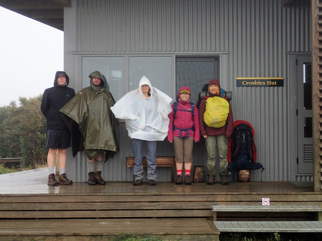
29th April 2017 to 30th April 2017, Walk to Crosbie’s hut (in the Coromandels) via Tararu Track and back down via Te Puru Track. Pictures posted here
Group Photo at Crosbies Hut, Coromandel Ranges
With Glen Doughty, Carl Brett, Lina Zhou, Juliaty Jap, Helen Zhang and myself (I’m taking the picture above)
For me, due to the proximity to the Taranaki Trip and the fact that I hadn’t yet unpacked my tramping pack, this trip pretty much felt like a continuation of the Taranaki Trip.
With Matt Davison, Nicole Scheid, Brody Radford and myself. Flew down from Auckland very early Saturday Morning and flew back up to Auckland on the ANZAC Tuesday
Mount Taranaki at Sunset as seen from Waiaua Gorge Hut
T’was a very tough going track, mainly due to the steep and sharp undulations. Oaonui Track was pretty rough and took a lot of energy to do. Was pretty much drained out at the end of both day 2 and day 3 of the Walk. Continue reading “Taranaki Around the Mountain Circuit Trip Notes”→