I have a confession to make, I do not understand present day Economics or financial markets.
To be honest, all I personally see is perhaps the biggest global asset bubble to ever grace the face of this planet. Many assets across the board appear to be valued well in-excess of their intrinsic value and have seemingly been like this for a lot longer than would ordinary be in a so called a bubbly situation.
Note May 2021: This post describes a hike that was done back in 2017 prior to being closed off due to Kauri Die Back concerns. The track has since reopened minus the Fletcher Track.
—
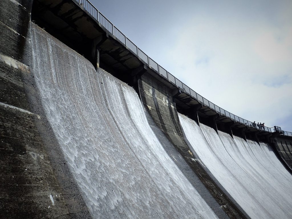
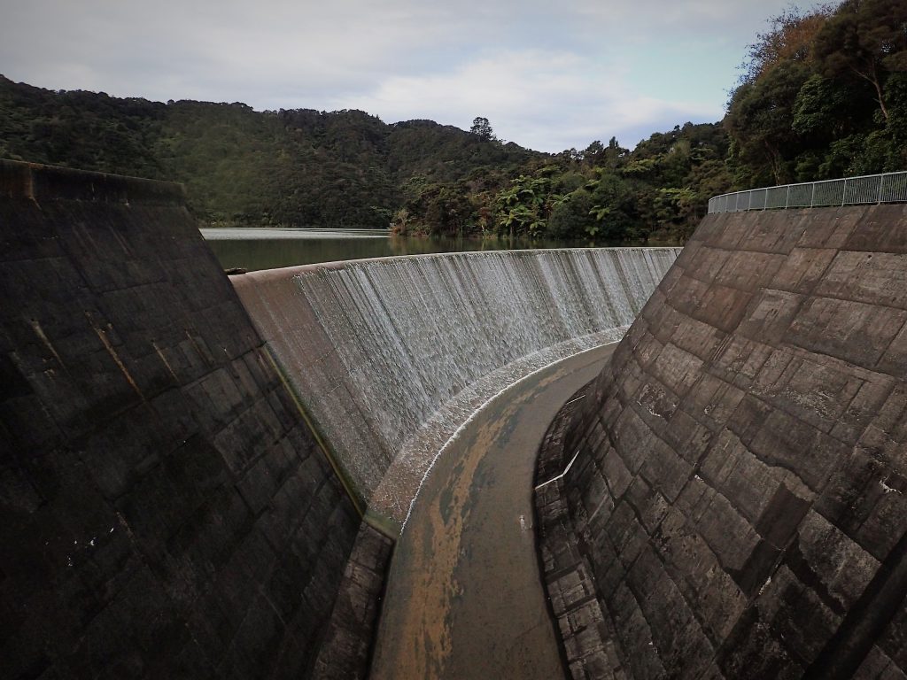
Trip notes for the Karamatura Valley and Mount Donald Mclean trail, a regular solo short to medium walk I regularly do. This will perhaps be my first attempt at documenting a trail in some sort of detail in a format inspired predominantly by MotoWalk NZ
In summary, A trek up through Fletcher Track up to Mount Donald Mclean and back via Karamutura Valley.
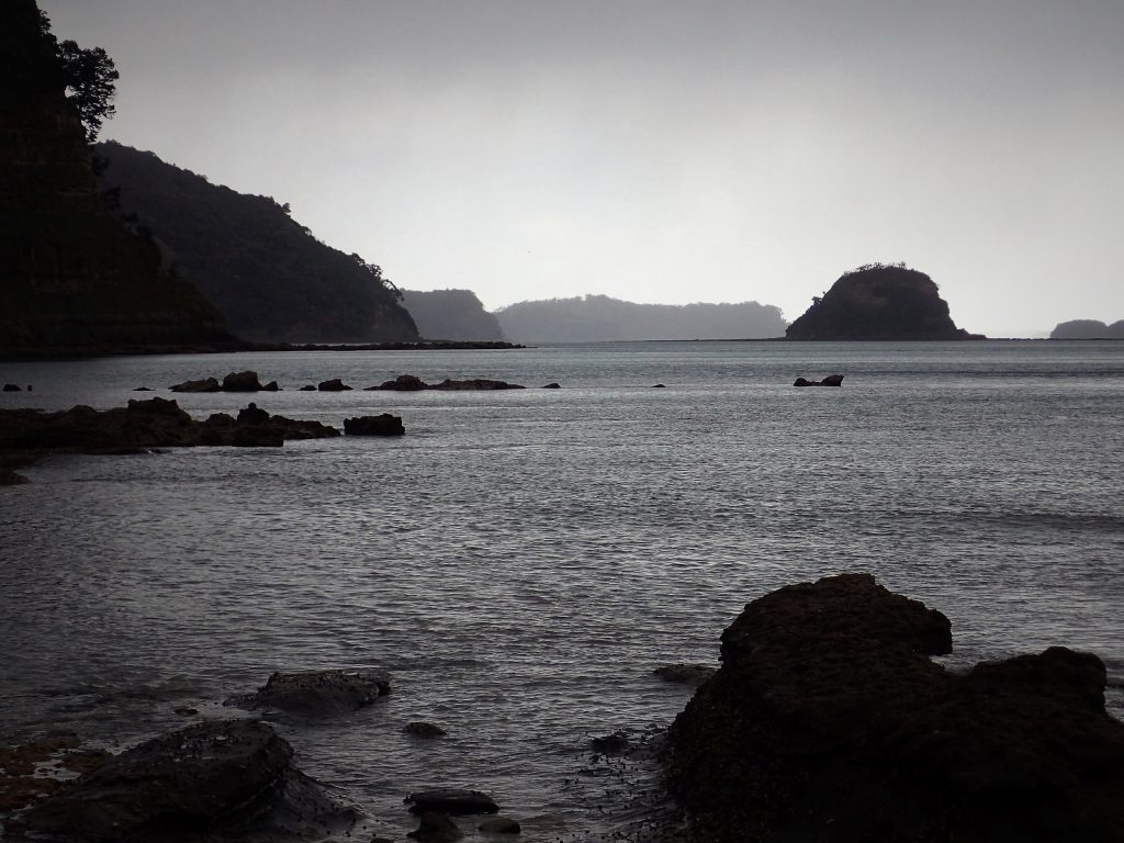
Looking down to Whatipu from Mount Donald Mclean Lookout (Click to Access Gallery)
Expect around 5 hours at a gentle pace, including 30-40 minutes for a lunch stop at Mount Donald McLean and a 30-40 minute Swimming stop at the Base of Karamatura Falls (Actual walking time, about 3½ to 4 hours) Continue reading “Karamatura Valley and Mount Donald Mclean (2017)”→
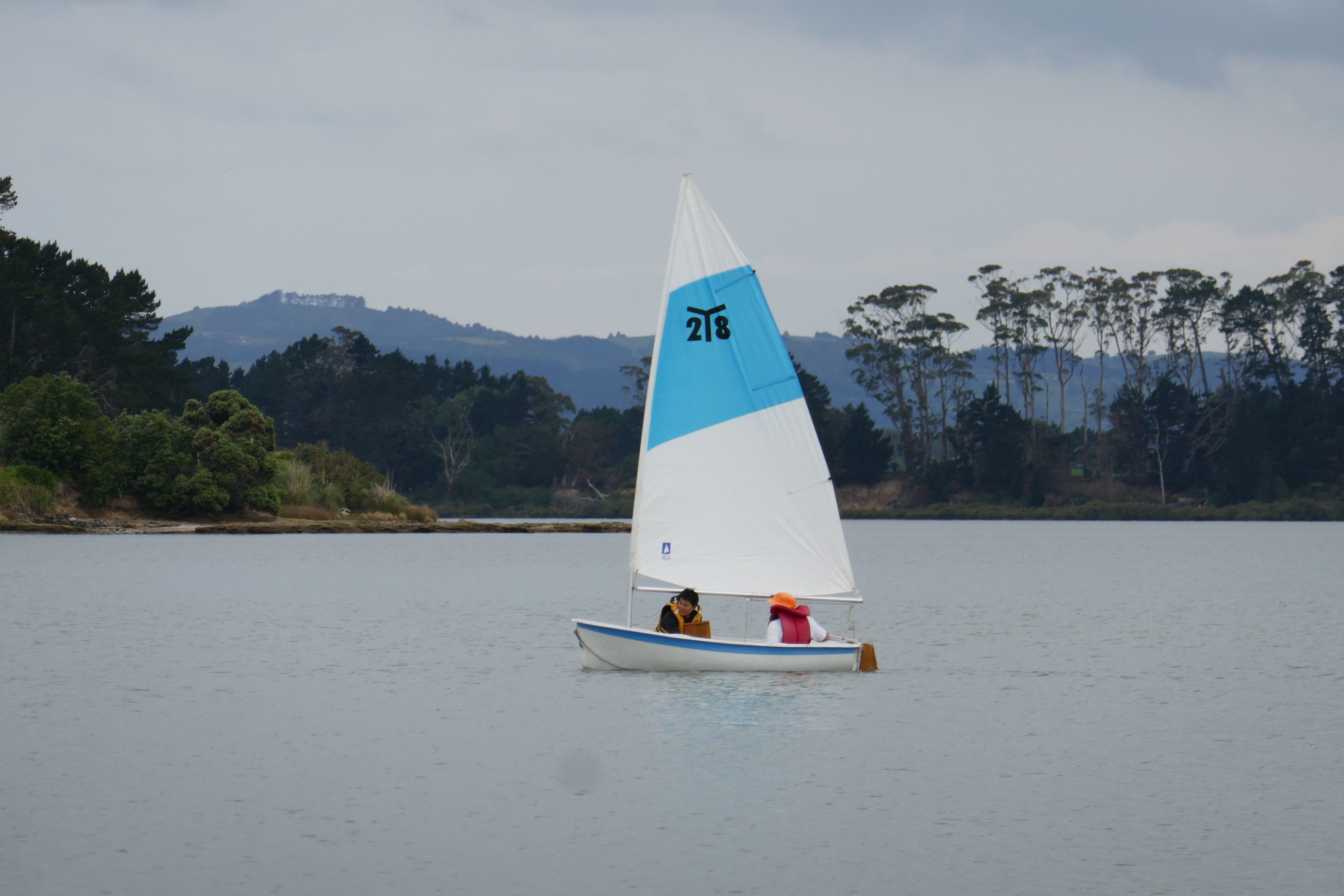
Explore of Motuora Island today with the North Shore Tramping Club. Lead by Imogen with Karen who took us there in the official Yellow bus. Photos posted to NUI.NZ, Click Image below to access the gallery…
Motuora Island
Will add some more details in the next few days. (Right now I’m feeling really really sleepy, Apologies!)
Occasionally I will take advantage of Rental Relocation deals to usually to do a road trip after a key event concludes (be it, after a hike or after a work trip) to explore an area that is new to me.
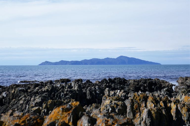
Kapiti Island from State Highway 1
After attending the Outdoor Training NZ AGM in Wellington in the weekend just past, A JUCY Condo Camper van was lined up in order to go back to Auckland, where we took turns driving it back to Auckland. It was perhaps my first time experiencing driving a Van and a Camper.
About the “JUCY” Campervan itself. Main points…
A pleasant and friendly lady at the Wellington JUCY branch showed us around the vehicle, how to operate the various functions and provided instructions for return.
The JUCY “Condo” camper we got was in a good state of repair, very clean and tidy
A Freshly cleaned set of Blankets and duvet supplied as well as towels for 4 occupants.
All Cutterly, Bowls, Plates and Cups have been supplied
The Vehicle included two LPG hobs including Pots, Pans and a kettle.
A Chemical toilet was included.
I did find the Vehicle to be quite thirsty, drinking about 12-13 litres of petrol every 100km at Highway speeds.
The Vehicle only had a 2.0 litre naturally aspirated petrol motor and given the size envelope and weight of the vehicle, it naturally struggled with hills, while noticeably labouring at 100km/h on the flat. Be prepared to pull over frequently to allow other traffic to pass on hilly sections.
Noticed the Camper was perhaps a little more tiring to drive than a regular rental car. (e.g. in comparison with a Toyota Corolla Hatch)
General observations about renting a car (not necessarily confined to Relocation deals)…
It is in my feeling that you really need at least 48 hours to make the Car rental relocation journey a worthwhile undertaking, otherwise it could all just driving point to point with little time to actually stop off on the way to look at things.
Many Excess reduction insurance options offered by many rental car companies excludes the likes…
Under Body and Overhead damage.
Hail damage
Tires / Punctures.
Windscreens
You may still be levied with a claim fee of about $75 even if you took up the $0 excess option.
Most standard Holidays parks charge per person in terms of Camping, not per site, bear that in mind when looking around for places to stay. Cabins and motel units at the same Holiday parks are usually advertised at the Twin rate.
If you have a self contained Camper van, it may be prudent financially to take advantage of that and Freedom Camp where ever possible and as long as it is legal to do so.
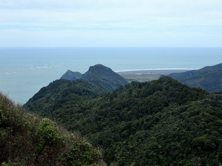
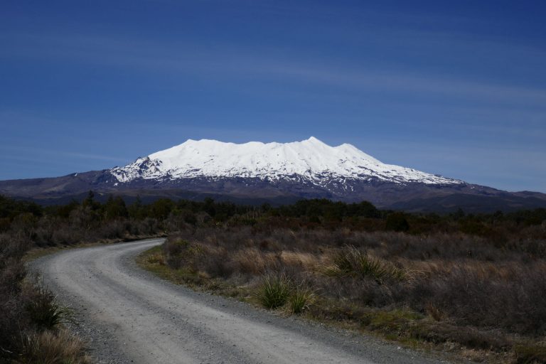
Relatively short Multiday Trip to Tama Lakes, Waihohonu Hut and Oturere hut and back out to Desert Road. Was going to go around to Mangetepopo Hut and complete the Northern Circuit though an updated 11:00 a.m. Weather report upon reaching Oturere Hut, the Ranger advised us not to proceed due to dangerously high wind gusts.
Click photo below to access the gallery…
Mount Ruapehu
Hut Rangers, Doug and Horse, who we met on the trail, were fantastic.
A dip in the Springs near Waihohonu Hut provided some much needed refresh and temporarily removed the pain of my Left foot.
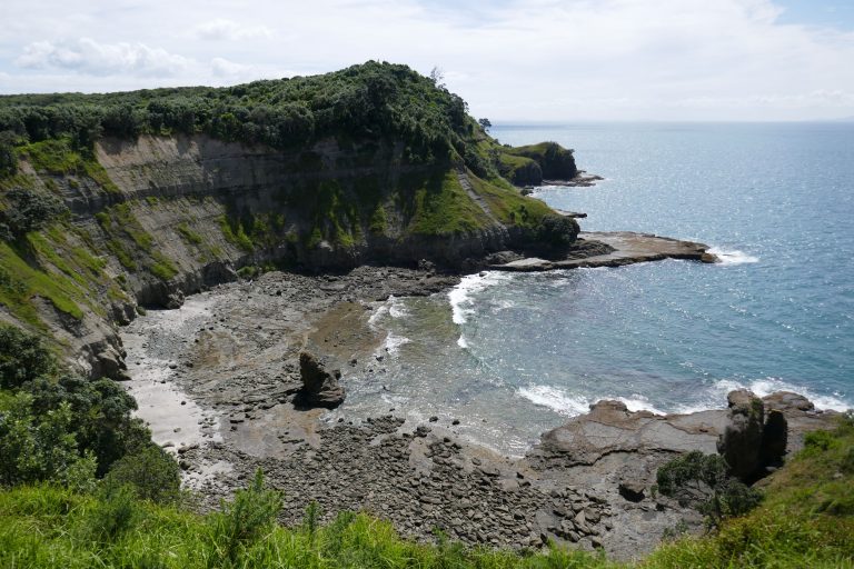
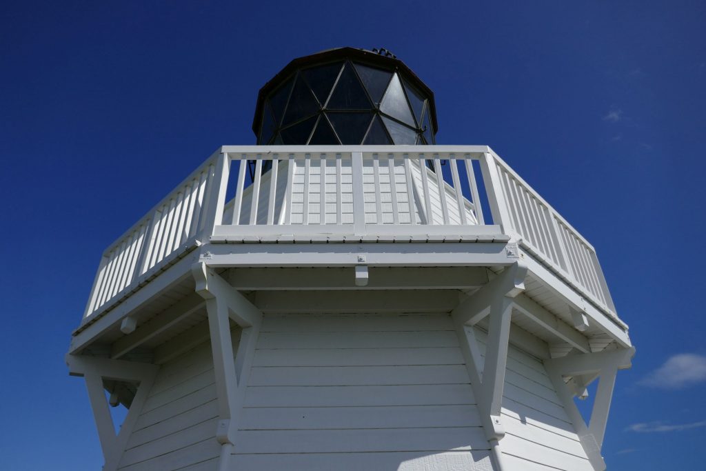
The Road up to the Lighthouse becomes very windy half way up the Awhitu Peninsula. Beware new speed camera about 400m out (north along Awhitu Road) from Waiuku.
It was observed that a seemingly substantial percentage of the real estate was being marketed for sale, particularly the further north you went (e.g Big Bay). However the reason why this was the case remains unknown.
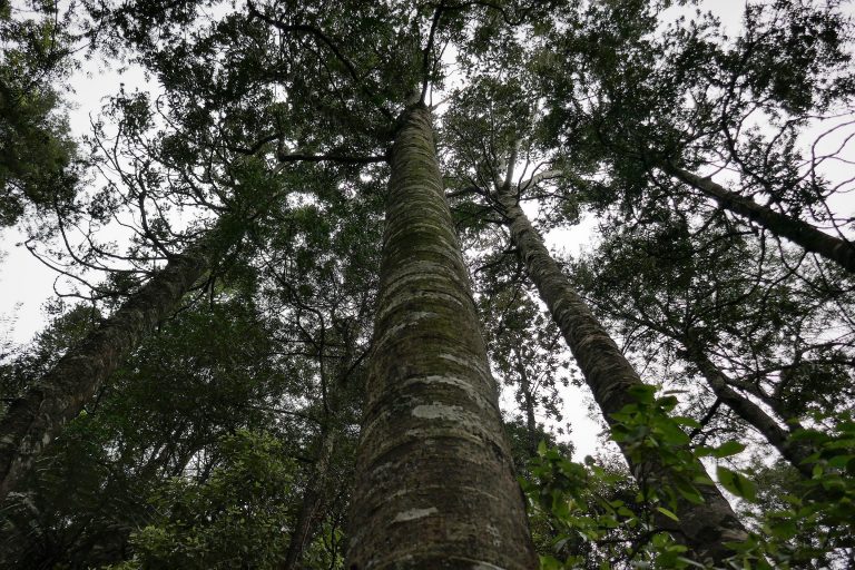
Short walks this afternoon to Mount Taupiri and Pukemokemoke, click picture below to access the photo gallery at NUI.NZ.
Kauri Trees at Pukemokemoke Reserve
The Taupiri Mountain Bushwalk was approved for by Maori Elder, Turnate Mahuta, and cared for by Local residents along with the Taupiri Young Farmers Club. Pukemokemoke Reserve is under the care of the David Johnstone Pukemokemoke Bush Trust in conjuction with Friends of the Pukemokemoke.
Both Bush Walks (to the summits and return) are about 1-2 hours each.
Elevation gain for Taupiri Mountain is approximately 270 while the elevation gain for Pukemokemoke is approximately 150.
Attended the Flight Centre Travel Expo briefly in the morning just to have a quick look. While it perhaps didn’t really inspire me to go traveling more than I currently do, it did put in perspective just how much people were willing to pay for convenience by buying a pre-arranged tour, even with the 15% Flight Centre Expo discount applied. Seems 180-450 per day per person is the norm and that is excluding flights.
Inside a Tour coach (Flight Centre Travel Expo)
While people will no doubt have differing views, based on one’s circumstances (You’re time poor, you have a family to look after, etc). I feel that planning a holiday yourself and researching in detail where to go, what to do, etc,is a large part of the Holiday experience.
I think it was the same deal with my Victoria, Australia trip to both the Grampians [Photos] and 12 Apostles [Photos]. Looked at tours available then in the end, decided to book a rental car myself and book accommodation myself for a much cheaper overall rate.
For those in a position to do so, self arranged holidays provided some advantages…
Not being rushed and hearded around. Take it at your leisure. Increased chances for better photo opportunities.
More flexibility to see what you want, do want you want.
Even for a solo traveler, booking your own transport and accommodation worked out cheaper than taking a pre-packaged tour.
—
Comments have been disabled for this post due to spam.
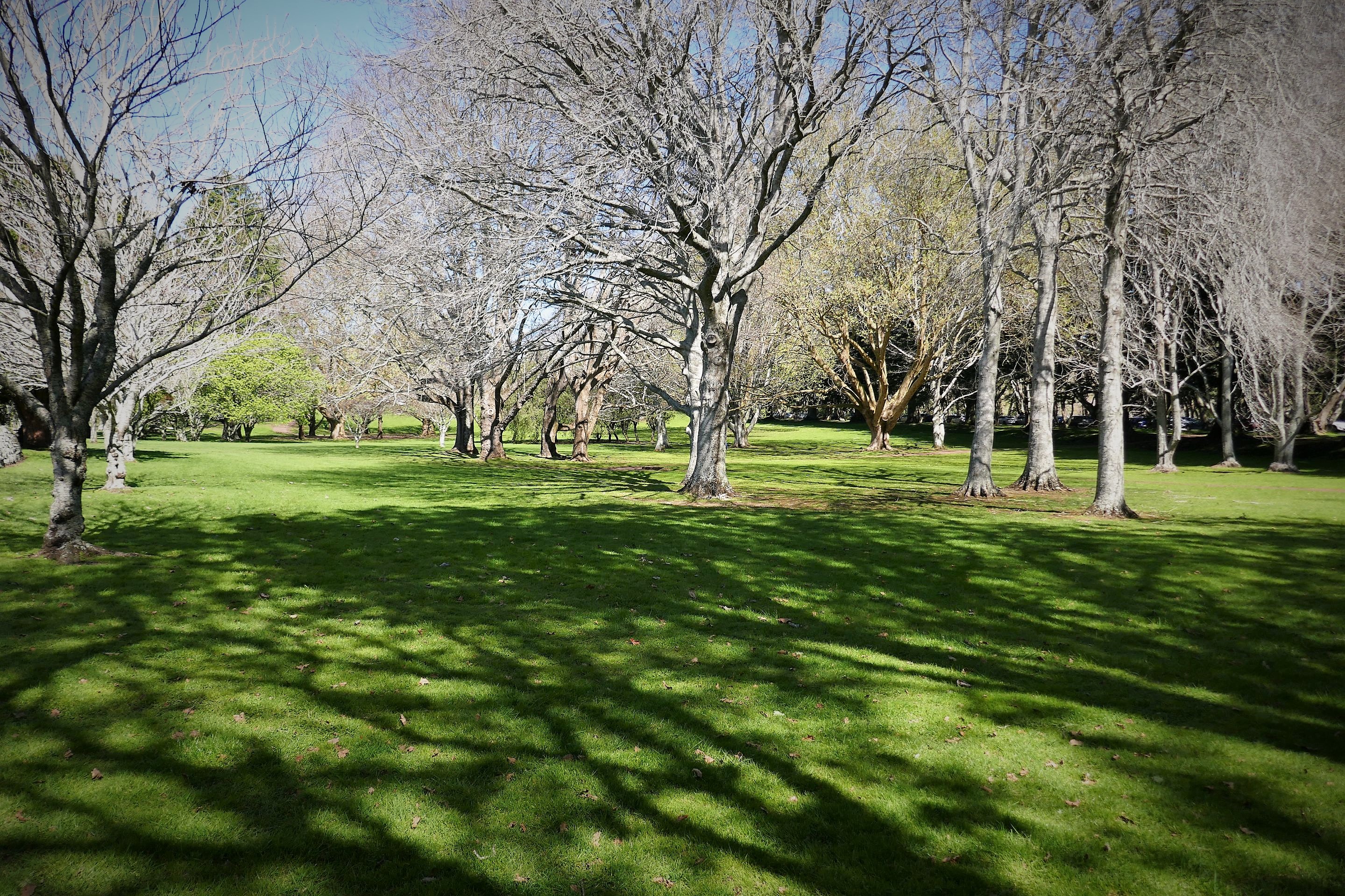
Quick little shots Miscellaneous shots from Cornwall park after having attended the Flight Centre Travel Expo. Was hoping to see some blossoms, but it didn’t quite eventuate as planned. It was also the middle of the day where most people would be visiting the park so didn’t quite get any descent photo opportunities that weren’t essentially just crowds of people…
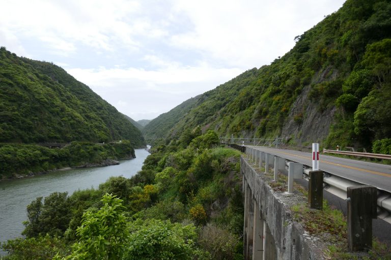
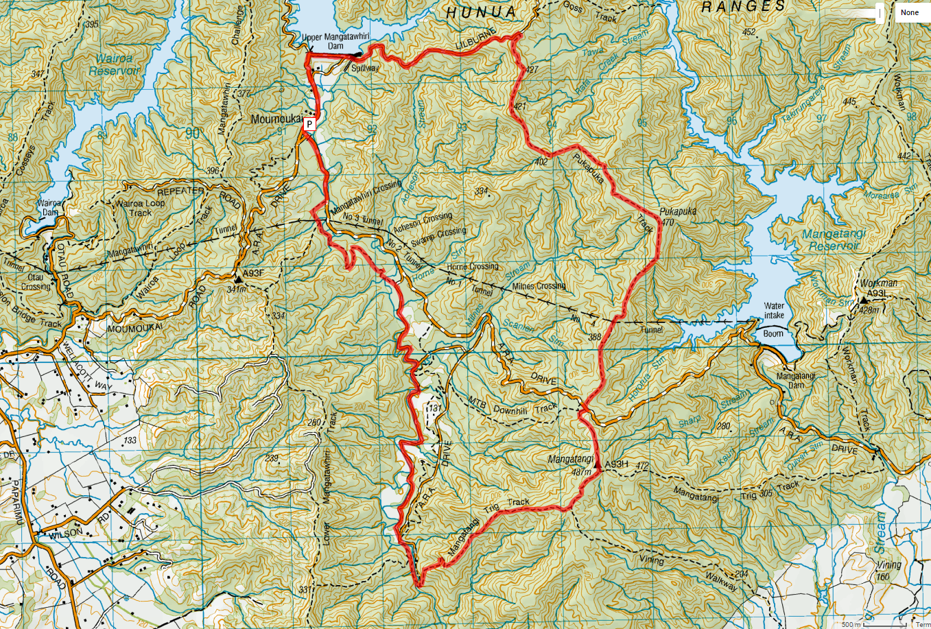
Sunday 24th September 2017 – A walk up to Kohukohunui, Photos posted to NUI.NZ.
We first attempted to access Kohukohunui via Moumoukai Hill Road [Topo link], but we discovered upon reaching the road end car park, the place is now pasted in signs with “No Public Access permitted”.
We then drove on around the seabird coast to Waharau [Topo link] and started our ascent from there taking the most direct route towards “Kohukohunui” via Waharau Ridge Track connecting on to Mangatangi Ridge Track. We stopping at Thousand Acre Campsite shelter for Lunch (and stopped there again on the way back). Due to time and daylight constraints we returned back the same way.
Click picture below to Access the Photo Gallery.
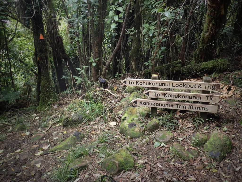
Track Junction towards Kohukohunui Trig at the Eastern end of Mangatangi Ridge Track
Other notes, considerations and points of possible interest…
Difficulty Grade: Medium (Approximately 6 on a difficulty scale out of 10). Some moderately steep sections + some mud.
The side track to Kohukohunui Trig states 10 minutes (pictured above). In reality, this is closer to 20 minutes
Track condtion of Waharau Trig track is generally good with a handful of slightly muddy patches.
Conditions were very muddy for the last 1.5 km to Kohukohunui Trig.
Waharau Car park closes at 7:00 p.m. during the Winter season (During non day light saving times) and 9:00 p.m during the Summer season (During day light saving times)
Thousand Acre campsite has a fairly newly built shelter with one long drop toilet.
It was also today I learned that Raro cordial mix gives me bugger all energy and has little effect at helping me get up hills. Apparently a row from Whitakers Chocolate bar gives you eight to ten times more Calories to burn.
Rough Basic outline: Starting from Moumoukai Car park. Walk up Lilburne Road (past Upper Mangatawhiri Dam), Turn right onto Pukapuka Track. Walk up to Mangatangi Trig, Then walk down Mangatangi Trig Track and return back to car via network of gravel road.
If necessary, can cut this short by going down A.R.A Road.
Alternative shorter southern loop plan: Go up A.R.A Road, down Mangatangi Trig Track and back to car park via the network of roads.
Estimated Time: 8-10 Hours (Depending on pace, including allowances for stops)
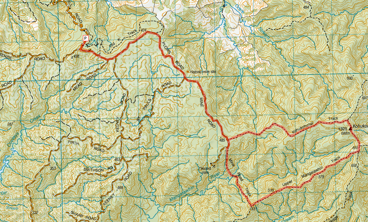
Rough Basic Plan: Drive up Moumoukai Hill Road. (Parking near the end of the road). From the car park walk up Mine Road through to Mind Road Track, turn left with Intersection of Upper Mangatawhiri Track toward Kohukohunui Trig, return back via Kohukohunui Track
Estimated time: 8 to 11 hours (Depending on pace, including stops)
A spontaneous trip to do some little walks up north in and around Orewa and Waiwera. Photos uploaded to NUI.NZ. Click image below to go to the photo album.
They say Facebook causes depression. For me, it’s probably not the “Comparing yourself with others” / F.O.M.O (Fear of Missing out) trigger that I keep seeing exhorted in the media (in the lightest way possible, that aspect of Facebook has probably had the opposite effect),
What has instead perhaps “dampened my mood” is seeing the world’s masses getting deeply hooked and dare I say addicted to the platform owned by a corporate juggernaut (which we are collectively responsible for becoming a juggernaut, by virtue of joining the platform and getting our friends to join courtesy of the “network effect”) intent on eating up the entire Internet and irreversibly integrating itself into many people’s lives.
I really struggle to see this as a good thing for us collectively in the longer run. I question our decision to rely on a sole proprietary platform for keeping in touch with friends and family. I continually freak out about how much power over our lives we are collectively handing over to be concentrated into the hands of a single for-profit entity such as Facebook, especially so given their past and present behavior. Have people forgotten about “Power tends to corrupt, and absolute power corrupts absolutely”?
I’ve referred to Facebook as “Face-borg” for this reason. It is really the Web’s version of Startrek’s Borg collective, relentlessly assimilating everything in it’s path.
Short 450m climb up to Karangahake Trig and back down the same way. The Settled forecast did not eventuate this time (mostly ended up with White) so will be one I have to come back again to do with a larger group and probably part of a weekend trip.
Click picture to view gallery (on NUI.NZ)…
Karangahake Gorge on a wet Day
Track conditions on Mt Karangahake Walk Track were very wet and slippery. Be very cautious particularly while descending down the track.